FAA Part 107 Certified Commercial Remote Pilot
Dothan Drone Photography & Aerial Video
FAA Part 107 Certified • Drone-only sessions $125 • Add drone to any shoot for $75
Legally Compliant, FAA-Licensed Aerial Media
Tyler Bowman Photography combines certified commercial aviation safety standards with publication-grade real estate marketing optics.
FAA Certified Remote Pilot
Photo Delivery
Properties Captured
Who It’s For Across Dothan & the Wiregrass
From residential MLS listings inside the circle to multi-acre farm tracts across Southeast Alabama, high-resolution aerial media delivers context ground photography cannot match.
Residential Real Estate Listings
Give MLS listings instant curb appeal. Highlight neighborhood proximity, cul-de-sacs, swimming pools, detached workshops, and lot depth.
Land, Acreage & Farm Properties
Showcase perimeter fence lines, timber tracts, pasture acreage, access roads, and topography that cannot be seen from the ground.
New Construction & Developments
Document build progress, foundation pours, framing milestones, and phase master plans for builders, investors, and buyers.
Commercial Properties & Facilities
Capture highway frontage, traffic flow, parking capacity, logistics loading docks, and neighboring retail centers for commercial leasing.
Farms & Agricultural Land
Sweep expansive fields, barns, pivot irrigation systems, and timberland across Houston, Dale, Coffee, Geneva, and Henry counties.
Churches, Venues & Outdoor Events
Capture majestic campus architecture, expansive community facilities, sports fields, outdoor pavilions, and event grounds.
Full Service Coverage: Serving Dothan, Enterprise, Ozark, Headland, Daleville, Hartford, Geneva, Ashford, Troy, and Eufaula with fast turnaround.
Simple, Honest Drone & Aerial Packages
Book a standalone drone session or add certified aerial photos to any photography shoot with zero hidden fees.
Enhance Your Drone Shoot with Popular Upgrades
Add sunset ambiance or urgent turnaround to any session.
4K Ultra-HD Aerial Video & Flyover Showcases
Gliding 4K aerial video immerses out-of-town buyers and captures the sweeping acreage of your Wiregrass property.
Click to Play 4K Aerial Video
Smooth gimbal-stabilized 4K drone cinematography with licensed audio soundtrack.
Featured Drone Aerial Gallery
Click any aerial perspective to view in full resolution with detailed property context.
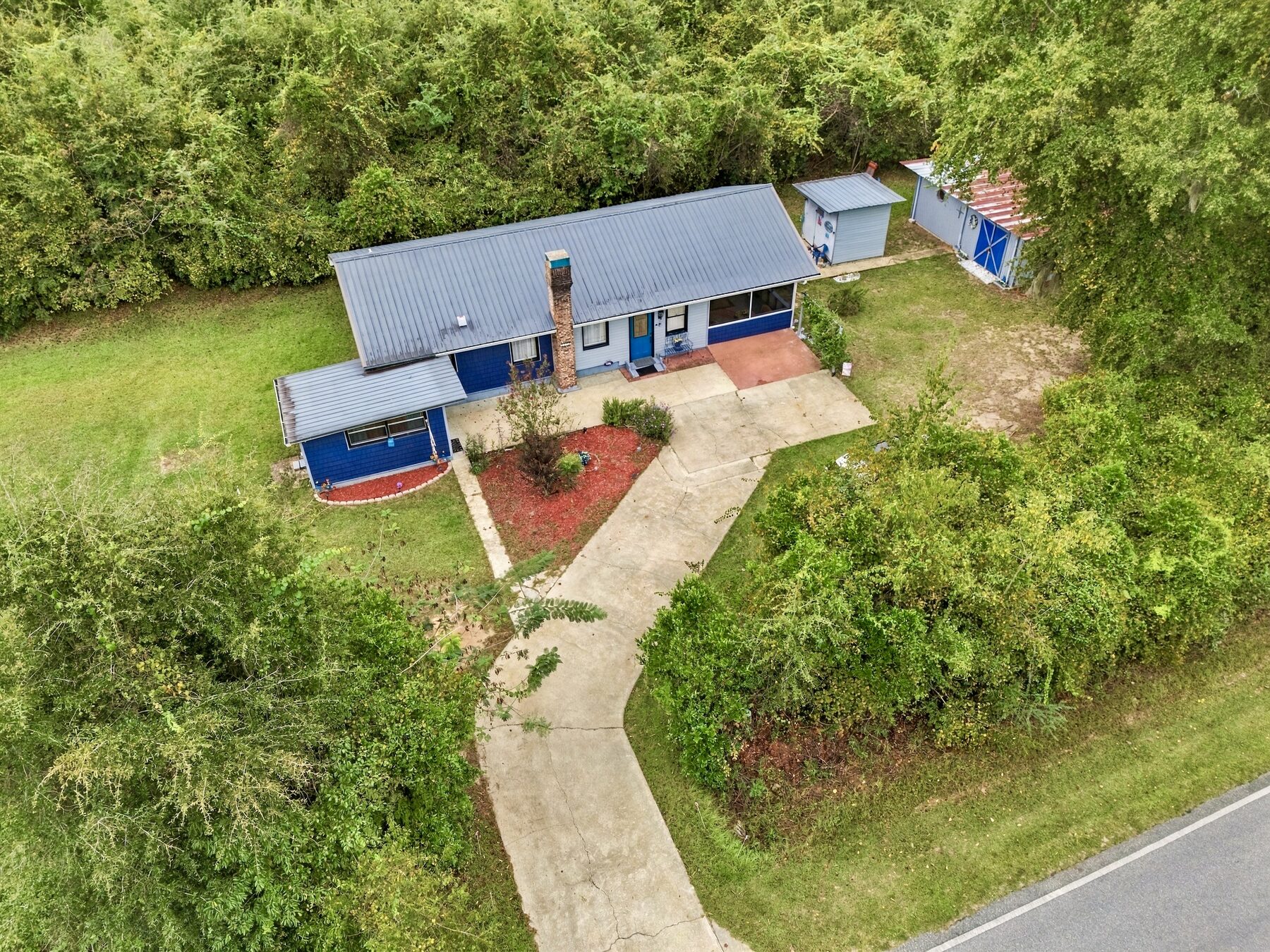
Wooded Ranch Home Aerial
FAA Part 107 certified commercial drone aerial perspective capturing wooded ranch home and acreage.
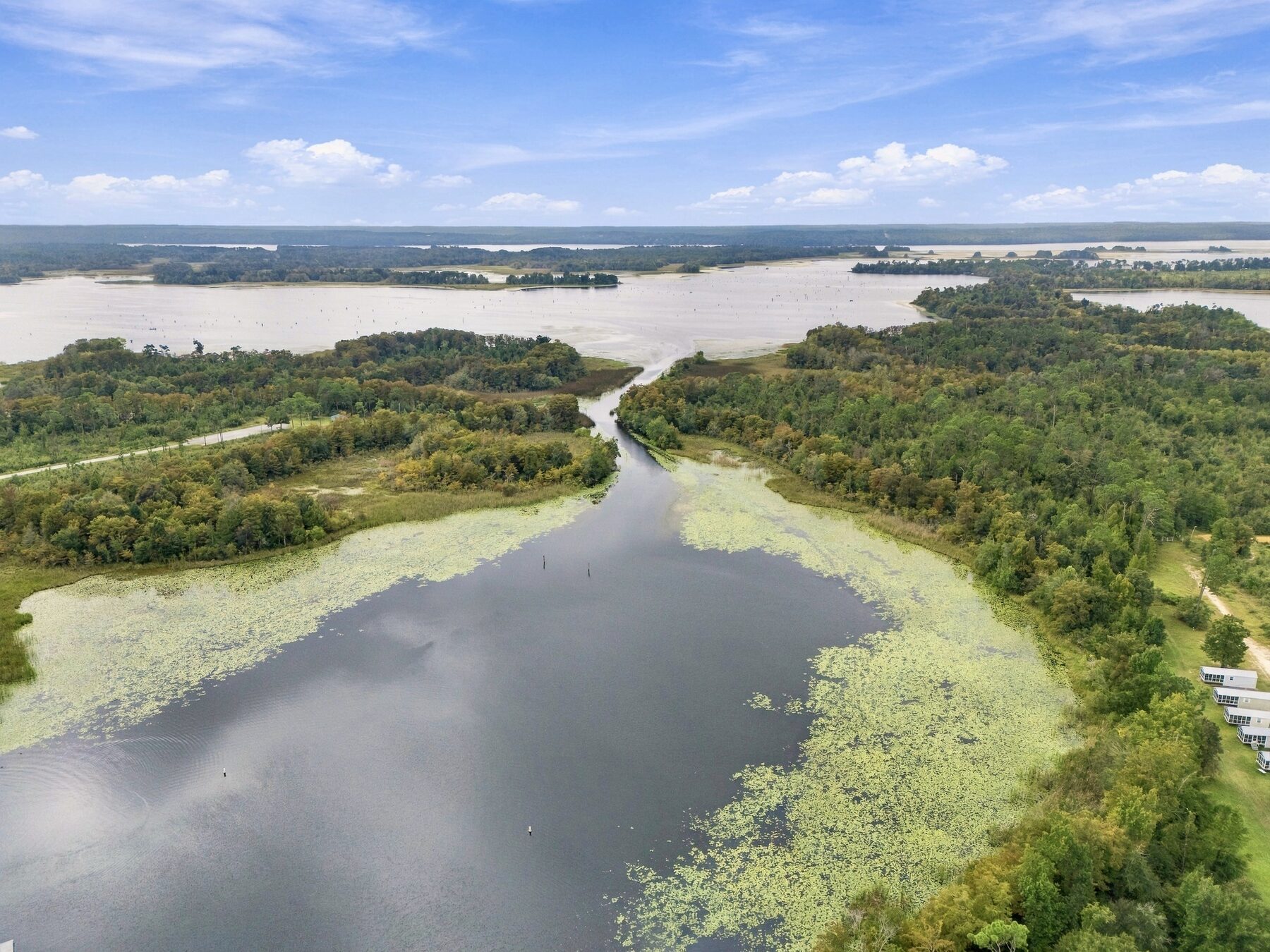
Lakefront Lot & Acreage Drone Perspective
High-altitude aerial flyover demonstrating estate boundaries, canopy cover, and shoreline frontage.
Wiregrass Horizon & Acreage Perspective
Commercial drone perspective capturing acreage layout, tree lines, and expansive landscape.
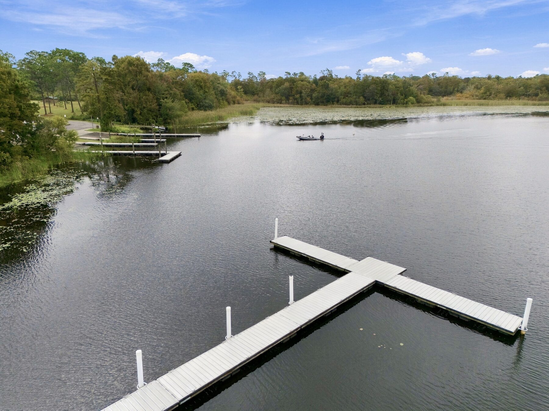
Private Boat Dock & Lake Aerial
Bird’s-eye perspective capturing private boat dock, lake access, and surrounding tree canopy.
Pool Property Aerial
FAA Part 107 drone perspective showing the home, fenced pool, outbuildings, and surrounding acreage.
Dothan Drone Photography FAQs
Everything you need to know about FAA licensing, airspace clearance, and turnaround.
Have a specific property near Fort Rucker or Dothan Regional Airport? (No drone flights on post.)
Text us your property address or GPS coordinates and we’ll run an instant airspace feasibility check before booking.
Ready to Book Your Dothan Aerial Shoot?
FAA Part 107 Certified and delivered in guaranteed 24 hours. Standalone drone sessions start at $125, or add drone photos to any shoot for $75.